Barlow Point Trail #709
The Barlow Point Trail is not a long hike, only 1.2 miles, but a pretty steady climb. All the same, this is a popular family hike. Starting elevation is 2,360 feet, and by the time you get to the old Barlow Point Fire Lookout site, your elevation is 3,200 feet. The trail begins with a stroll through a lush green forest. When walking through these trees, you will notice several burned stumps of old giant trees. This area is recovering from a forest fire back in 1916. As you walk along the trail these days, it is hard to imagine that this forest once succumbed to a raging fire. The charred stumps are your gentle reminder of how over time, nature can heal herself.
After a short walk at 0.3 mile you will see the Old Government Trail which drops down hill to the left. To get to Barlow Point keep to the right and begin to climb a series of switchbacks up the ridge. At the foot of the switchbacks take note of a large outcropping of volcanic rock which originated from an earlier eruption of Glacier Peak.
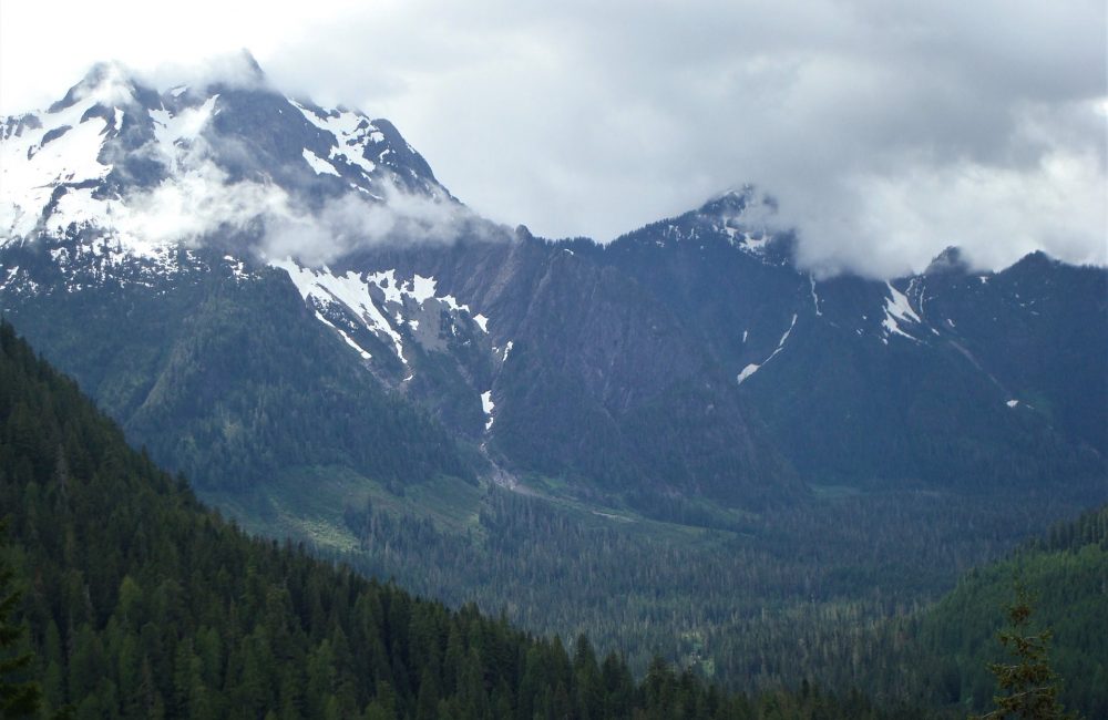
Views From Barlow Point Trail
The switchbacks become shorter and shorter until you gain the rocky ridge at the top. This is Barlow Point. The leveled flat area there is where the old lookout once stood. This and a point in the rocks where a steel spike is embedded is all that remains today. The Barlow Point Fire Lookout was built in 1935 and was a classic L-4 cab construction similar to the Fire Lookout at Miner’s Ridge. When there was danger of lightning strikes or in the dry season, a Forest Ranger would climb the trail and look for signs of smoke. If he spotted a potential fire, he would hurry down to the Guard Station below, which is now where the parking area is today. The guard station was equipped with a radio and simple phone line by which he could contact the main Ranger Station.
It is easy to see why Barlow Point was chosen for a Fire Lookout. When you stand on the ridge your eyes are treated to the South Fork Sauk River to the east, the South Fork Stillaguamish Valley to the west, the many rock slides of Sheep Mountain and Big Four Mountain. While you are enjoying the view remember to take a little time to look down, this is an excellent place to find Rock Penstemon in bloom.
Getting there:
From the Darrington Ranger Station, take the Mountain Loop Highway 23.4 miles to the trailhead at Barlow Pass.
History:
This trail begins at the site of the old Barlow Point Guard Station. As you hike you come to the junction of the Old Government Trail which travels along the old railroad grade to Monte Cristo. The trail ends at the old Barlow Point Lookout site.
Type of trail: USFS
Length: 1.2 miles
Elevation: 2,400 – 3,200
Level of difficulty: easy
Best seasons: Summer & Fall
Wilderness restrictions: No
Northwest Trail Pass required
Restroom: Vault toilet at trailhead
For more information see the Darrington Ranger District Website
