Squire Creek Pass Trail #654
The old road to the trailhead became impassable when in 2002 a massive slide came down Jumbo Mountain, the thundering while this happened could be heard and felt for miles. Hikers have picked a trail through the boulders, crossing a few streams and in 2 miles you come to the original trailhead. While walking through these massive boulders look up at the scar still very apparent today where a large section of the mountain came down blocking the swift waters of Squire Creek to create large pools.
Once climbing up from the slide you will resume walking on the old road. It crosses several beautiful woodland creeks and small streams fed by snow melt above. A good rule to remember when crossing mountain streams is that as the day warms, the water in these streams will increase in volume and can be significantly higher by afternoon.
The trail takes you through mixed forest, then a magnificent stand of old growth as you near the Boulder River Wilderness. Continuing this hike, there will be some spectacular rock faces on Whitehorse Mountain to the west Jumbo Mountain to the east. A little while later, you can catch some glimpses of Three Fingers Mountain and Mount Bullon. The trail will be a steady climb from here
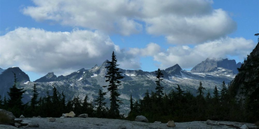
At 1.5 miles, you cross a boulder field and small creek, continuing up to the pass, the trail climbs a few switchbacks. As you near the ridge you will enter alpine meadows with small lakes and views of the mountains. Once reaching the pass you will be rewarded by incredible mountain views in all directions!
Once reaching the pass, you meet up with the Eight Mile Trail #654.02 which comes up from the eastern side of Jumbo Mountain.
Views From Squire Creek
Getting there: From the Darrington Ranger District office, drive south and take Mt. Loop Highway .8 miles to Darrington Street. Turn right on Darrington Street and follow this road for 3.75 miles to the end.
Type of trail: USFS
Length: 5.7 miles
Elevation: 1,600 – 4,000
Level of difficulty: more difficult
Best seasons: Summer & Fall
Wilderness restrictions: Yes, enters the Boulder River Wilderness
Northwest Trail Pass required
Restroom: No
For more information:
