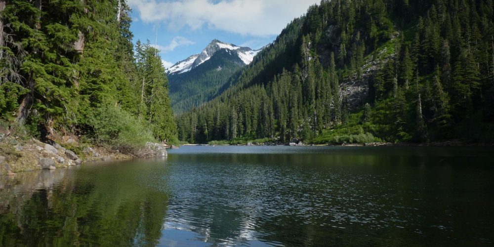
Slide Lake Trail #635
Slide Lake trail starts off on a steep winding trail through enormous boulders from a ancient slide of long ago. This is the same slide that formed the destination of this trail, Slide Lake. When you are driving to the Slide Lake trailhead on the scenic Illabot Creek Road, just after crossing the Illabot Creek bridge you can look up northeast to the peaks and see the rock ledge where these boulders once fell from.
Over the many years the forest has adapted to its rocky surrounding creating lush forest, abundant wildflowers and occasional views of the rock face above. As you hike along the trail you will hear streamlets flowing somewhere below in the boulders and Otter Creek paralleling the trail. This is the drainage of the lakes, Slide Lake and further up in the mountain, Enjar Lake above.
The trail starts rather steeply, but it levels off winding through forest and shortly comes to a pond before reaching the lake. When looking at the outlet of the pond it is very clear to see how this enormous slide created a dam holding the water back. Shortly after reaching the pond you begin to see Snow King Mountain off in the distance. Then you drop down and get your first view of the beautiful deep Slide Lake. A way trail goes quite a bit around the lake, great trails for wildflowers, birding and just getting nice views of the lake. There are a couple of designated camping sites along the lake with a backcountry toilet for those that would like to make this an overnight destination.utton to change this text. Lorem ipsum dolor sit amet, consectetur adipiscing elit. Ut elit tellus, luctus nec ullamcorper mattis, pulvinar dapibus leo.
Find Your Perfect Darrington Hike
Getting there: From the Darrington Ranger Station, drive 23 miles north on SR 530, turn right on Illabot Creek Road which is signed, drive up this road 19.2 miles, ( you will see the wooden Otter Creek bridge and the trailhead sign to the right.
Type of trail: USFS
Length: 2.5 miles both ways
Elevation: 2,800 – 3,200
Level of difficulty: moderate
Best seasons: Summer & Fall
Wilderness restrictions: Yes, enters the Glacier Peak Wilderness
Northwest Trail Pass required
Restroom: NO
For more information:
