Round Mountain Trail and Climbing Routes
At one time like many of Darrington’s surrounding mountains, there was a lookout post atop Round Mountain for surveillance and reporting enemy aircraft during WII. History is a bit sketchy as to the dates of operation of this lookout. Later on the Darrington Ranger District managed the trail for recreational use and was known as Round Mountain Trail #664. The trail was later abandoned by the Forest Service, reverted back to a network of user trails and now kept up by volunteers.
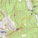
Round Mountain trailhead is a wide spot in the forest service road #1850 with parking for maybe 2 vehicles. The trail begins near a large western hemlock tree that looms over the younger forest. Road beyond this point which once went to Coney Pass is now very brushy. Round yellow metal markers are nailed on trees scattered along the trail route, which is sketchy in places, clear in others. Trail begins through young forest without much foot tread visible. Spring vegetation may make it hard to find. Once beyond a small rock face, trail is more obvious. There are a couple of steep pitches then you hit old growth forest. Trail climbs gently until it hits a ridge and young forest again. Route follows a log over a small break in the ridge at one point. Once the trail hits the ridge the route is obvious. This ridge connects to another ridge running east – west you re-enter old growth silver fir forest. Foot tread is fairly visible from this point on.
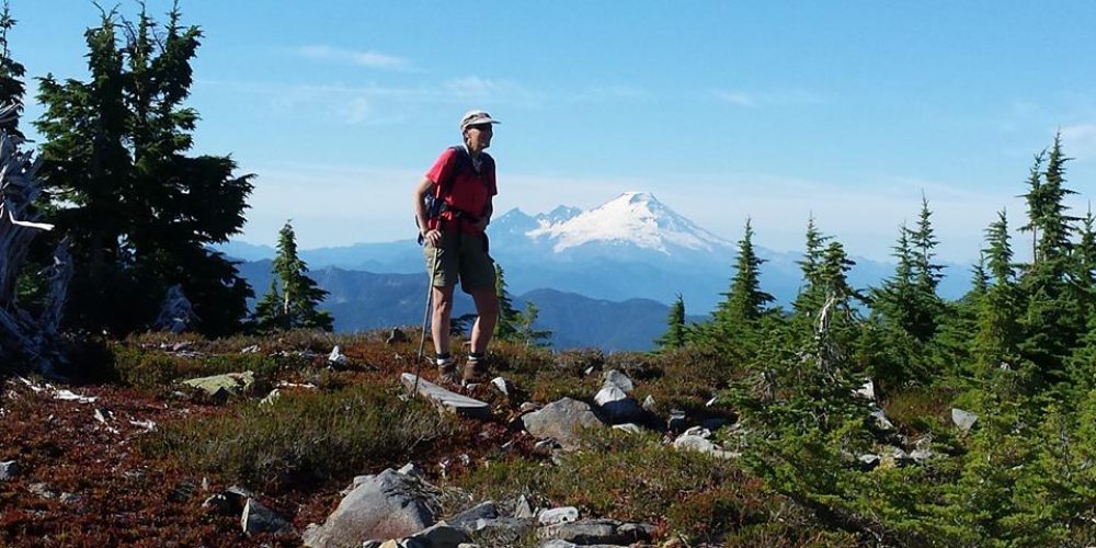
The semi-maintained user trail takes you to a sub-alpine basin with talus and rock outcrops approximately 500 feet below the peak. Views across the Stillaguamish Valley towards Whitehorse Mountain and etc., etc…. Follow the stream course (dry in late summer) up into a talus slope (right side is easier). Just below a tree clump in the middle of the talus, look west and uphill a bit. This is the “trail” route to the top, elevation 5,300. You will see bits of path as you ascend. In a large talus slope you will see a clear switchback. Route climbs steeply, but does not put you into rock cliffs or anything serious. Final piece to the summit is up the Southwest ridge. The summit is open heather and rock; views are 360 degrees.
– From the basin below the summit, go up the stream course into the talus and climb the saddle. If there is no snow on the rocks you can scramble down the rock face on cracks and ledges to the talus slope that approaches Shelf Lake. Visit Shelf Lake then Climb southwesterly (steep, green belay kinda route) to the Northwest ridge of Round Mountain and ascend the summit.
Find Your Perfect Darrington Hike
Getting there: To get to Round Mountain Trail from Darrington, drive about 5 miles west on SR 530, turn right on Swede Heaven Road and drive 1.5 miles to Forest Service Road #18 which will be on your right winding up hill, drive on FS #18 for 12.7 miles to Segelsen Lake which will be on your right. Just as you reach Segelsen Lake you will see FS #1850 on your left, this is a very rough road which you may want to just park and walk. After walking a short distance you will see a road up to an old logging landing. Start looking for the trailhead which is about 100 feet past this on your right. The trailhead is marked by ribbons and, looking into the woods, you will note the sign.
History: At one time there was an enemy aircraft lookout on Round Mountain during WII. Later it was a Forest Service recreation trail. Today it is a user trail & climbing route.
Type of trail: User Trail
Length: undetermined
Elevation: to the basin: 3,400 – 4,500 to the summit: 3,400 – 5,320
Level of difficulty: difficult
Best seasons: Summer & Fall
Wilderness restrictions: No
Northwest Trail Pass required – No
Restroom: No
For more information:

