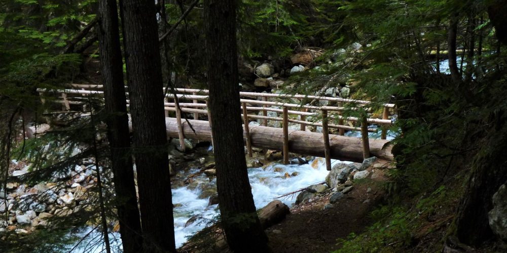
North Fork Sauk Trail #649
This trail quickly enters the old growth forest and .5 miles, enters the Glacier Peak Wilderness. This can be a nice five mile in day hike with little elevation gain to the old Mackinaw Shelter site. There some camp sites at Mackinaw making this a nice family get away.
The enormous old growth trees will make you feel small as you hike. The North Fork Sauk River is never far from the trail, but seldom seen, but you can always hear it. There is very little understory, as the old growth forest has shaded it out. The forest floor is carpeted with moss and various wildflowers. In the fall the moist forest floor fills with an array of fascinating and colorful fungus.
Continuing past Mackinaw, the trail climbs steadily making several switchbacks, gaining 3,000 feet in elevation by the time you reach the PCT junction. Take time to enjoy the views and catch your breath. Once reaching the PCT, there is nearby camping 3/4 miles south on the bench below White Pass.
Views From North Fork Sauk Trail
Getting there: From the Darrington Ranger Station, take the Mountain Loop Highway 17.0 miles to the Sloan Creek Road #49 and turn left. Follow this road 6.6 miles to the trailhead.
Type of trail: USFS
Length: 5 miles to Mackinaw and 8.4 miles to the Pacific Crest Trail
Elevation: 2,100 – 2,950 to Mackinaw, 6,000 to end reaching the PCT
Level of difficulty: moderate to Mackinaw, continuing most difficult
Best seasons: Summer & Fall
Wilderness restrictions: Yes, enters the Glacier Peak Wilderness
Northwest Trail Pass required
Restroom: Vault toilet at trailhead
For more information:
