Bald Eagle – Curry Gap Trail #650
The trail starts off crossing a nice foot bridge over Sloan Creek, then continuing on an old road. The old road has three smaller washout to scurry in and out of and as you make your way through these there are waterfalls seen from the trail. By August these will be reduced to a trickle. You come to the end of the road at about 2.5 miles to the trail and you enter the Henry M. Jackson Wilderness.
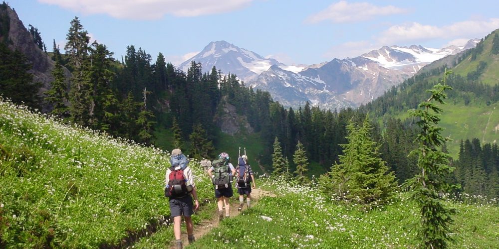
The trail climbs a series of switchbacks for about .5 miles offering a couple of views. After the constant ascent on the trail it opens up to an alpine meadow, this is Curry Gap.
As you hike along Curry Gap you will see a small stream fed by snow melt flowing to the north. As you reach the crest of Curry Gap, this same stream flows to the south. It is not unusual to see snow still receding in shaded areas up on Curry Gap clear into August.
Coming to the crest of Curry Gap you will see a large tree marking the junction of connecting trails with signs pointing to Cadet Creek Road and Quartz Creek Trail #1050 forking left and Bald Eagle Trail #650 forking right. Continuing on the Bald Eagle Trail, you will ascends over the ridge passing near Bald Eagle Mountain and Long John Mountain. As you continue the trail passes over June Mountain and you will come the the junction for the Pilot Ridge Trail #651 to the left. The Bald eagle Trail will continue onward to the Junction of the Pacific Crest Trail at Dishpan Gap, a total of 9.5 miles.
Views From Curry Gap
Getting there: From the Darrington Ranger Station, take Mt. Loop Highway, drive 16.3 miles to Sloan Creek Road, FSR 349, turn left and drive 9.5 miles to the trailhead.
History: This trail follows an old trail and route over the mountains.
Wilderness restrictions: Yes, enters the Henry M. Jackson Wilderness and Glacier Peak Wilderness
Restroom: No
Length: 3 miles to Curry Gap and 9.5 miles to the end at the junction of the Pacific Crest Trail and Dish Pan Gap.
Elevation: 3,300 – 5,600 Total trail
