Suiattle River Trail #784
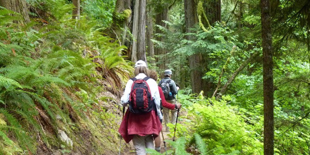
The trail starts off on a pretty level path winding through mixed forest, both old growth and younger trees. This is a designated hiker and stock trail with several streams to cross. As you hike, you will note on some of the old growth trees that still bear burned scaring from a large forest fire back in the 1920s. The forest floor is carpeted with moss and ferns. Wildflowers grow where they can grab a little sunshine.
This trail accesses three trails, the Sulphur Mountain Trail, Milk Creek Trail and at about 7 miles becomes the Pacific Crest Trail north. Shortly after starting your hike you will see the junction for the Sulphur Mountain Trail. At 0.9 miles into your hike, you will see the junction to the Milk Creek Trail.
At 6.5 miles you come to the log suspension bridge crossing Canyon Creek. There are a few campsites with pit toilets on both sides of the bridge. At 0.3 miles beyond Canyon Creek, the Suiattle River Trail merges into the Pacific Crest Trail. There are some nice river views from the bridge crossing over the Suiattle River just a short distance south on the Pacific Crest Trail.
If you continue on the Pacific Crest Trail, to the south leads to Mica Lake and Fire Creek Pass and beyond. If you continue north, your hike continues on to the Miners Ridge Trail and route to the Miner’s Ridge Lookout, Image Lake.
Views From The Suiattle River Trail
Getting there: From the Darrington Ranger Station, drive north eight miles on SR 530 north. After crossing the bridge over the Sauk River, in a short distance turn right, east, onto the Suiattle River Road, FSR #26, drive for 22 miles to the large parking lot at the end of the road.
Type of trail: USFS
Length: 1.2 miles
Elevation: 1,600 – 2,800
Level of difficulty: more difficult
Best seasons: Spring, if snow melt is gone and likely a shorter hike, Summer & Fall
Wilderness restrictions: Yes, enters the Glacier Peak Wilderness
Northwest Trail Pass required
Restroom: Vault toilet at trailhead
For more information:
