Gee Point Trail
The trail begins at the end of the road and proceeds along a brushy path but eventually leads to a rewarding scramble and emergence at the old lookout site. From up top the views of the surrounding mountains and Skagit Valley are astounding! At one time there was a network of trails that would take the intrepid walker to neighboring Finney Peak Lookout.
After making your way along the thick willows and other brush for a quarter mile, look for the trail as it continues to the right and steeply heads up the side of an old clear cut. The few cairns stacked along the trail will keep you on the right track. At about 0.4 miles you reach a ridge crest and enter lovely old growth forest. At this point you will be able to pick up the well beaten tread of the original trail. At about 0.7 miles beautiful Gee Point comes into view through a forest opening and soon after that the trail levels out and presents a perfectly flat alpine meadow.
Drop down slightly off the ridge to a marshy area which is where a cabin was once located. Head left to avoid the talus slopes, and climbing steeply, work your way back up to the ridge crest. This is a scramble and will involve using both hands & feet. If you are not comfortable with climbing further perhaps you will this alpine meadow a satisfying stopping point.
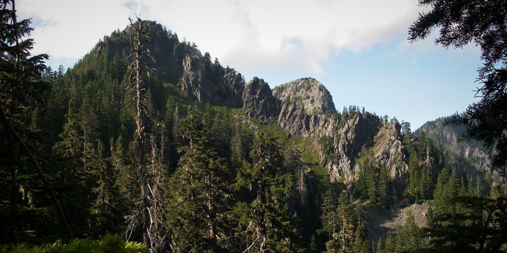
If you scheduled your hike for summers end you are in luck as the blueberries will be ripe and plentiful. This is a good time to stop and munch some tasty snacks. When finally you reach the rocky knoll at 4,974 feet, you have arrived at the location of the old Gee Point Fire Lookout. The view from the knoll provides spectacular panoramic vistas of Mount Baker, Glacier Peak, other surrounding mountains and the valley below. Looking directly down to the south is Gee Point Lake cupped in a rugged cirque formed as a remnant of the glacial age. Gazing a bit further, you might espy little Gee Lake by the road that you drove to get to the trailhead.
Views From Gee Point Trail
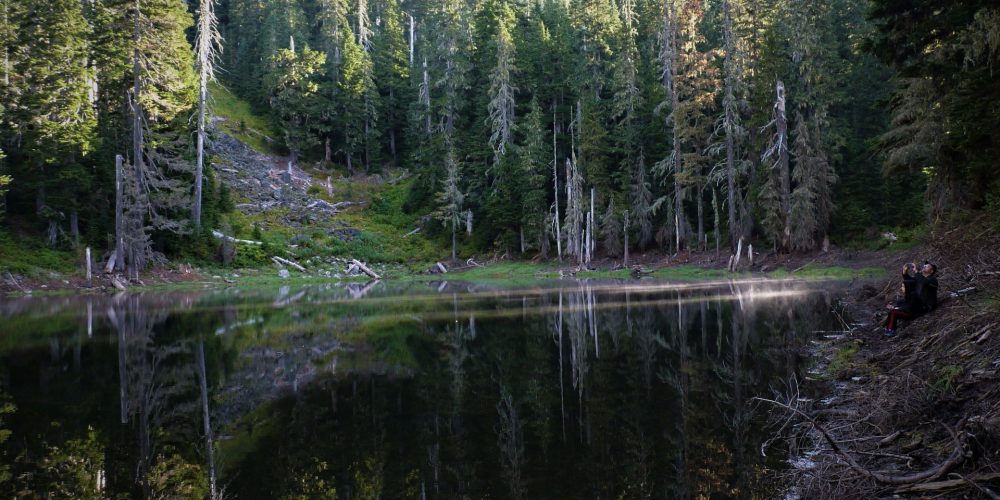
To add to your outing, consider a side trip to Little Gee Lake, which is just off the road, 0.3 miles before reaching the Gee Point trailhead. Walk along a narrow fisherman’s trail around the lake. The shores of the lake are steep and narrow, not lending to good campsites. On a clear day the reflections of neighboring peaks upon the lake are amazing.

Getting there: From Darrington drive north on SR 530, turn left onto the Concrete-Sauk Road, at about 7 miles turn left on FSR #17 and drive 10.5 miles. The first 6 miles are paved, the next 4.5 miles patch paved and deteriorating. Turn right onto FSR #1720 which is narrow and brushy and drive 2.1 miles, keeping to the right, turn up the rather rough FSR #1722 and drive 5.4 miles to the end where the road has been decommissioned and the trail begins. (at 0.3 miles is Little Gee Lake to the right)
History: Trail to the old Gee Point Fire Lookout site.
Type of trail: User Built
Length: about 3 miles round trip
Elevation: 4,300 – 5,000
Level of difficulty: dificult
Best seasons: Summer & Fall
Wilderness restrictions: No
Restroom: No
Further Information:
